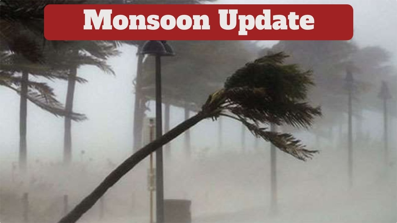
monsoon update – India is once again witnessing a notable shift in weather conditions due to an active Western Disturbance (WD) expected to influence many regions on November 4–5. According to the India Meteorological Department (IMD), this system is likely to impact northwestern states first, before extending its effect to parts of central, southern, and northeastern India. With this change, several states may experience rain, snowfall in the hills, thunderstorms, and a noticeable dip in temperature.
Rain and Snowfall Expected in Northern Hills
The Western Disturbance is likely to bring light to moderate rainfall and snowfall across Jammu and Kashmir, Himachal Pradesh, and Uttarakhand. The sudden snowfall in higher altitudes may lead to a colder atmosphere in the northern plains. States like Punjab and Haryana may also receive light rain over the next two days, accompanied by cooler mornings and evenings. In Delhi, temperatures have already begun to dip slightly, signaling early winter conditions.
Your Aadhaar Just Got an Upgrade: New Rules for Easier Online Updates and Mandatory PAN Linking
Your Complete Guide to Checking PNR Status and Understanding Your Train Ticket
Rainfall Alert Issued for Southern States
In southern India, the IMD has issued a yellow alert for Telangana, Andhra Pradesh, Tamil Nadu, and the Andaman and Nicobar Islands. These regions may experience thunderstorms and lightning along with intermittent showers. Coastal and northern interior Karnataka may also see light to moderate rainfall between November 5 and 7.
Weather Shift in the Northeast and Western India
The IMD has also warned of heavy rainfall in Arunachal Pradesh, Assam, Meghalaya, Nagaland, Manipur, Mizoram, and Tripura. Meanwhile, parts of Gujarat and Maharashtra are likely to experience thunderstorms on November 5. Lightning activity is expected in Marathwada, Konkan, Goa, Central Maharashtra, and Gujarat from November 5 to 7.
Temperature Drop Likely in Jharkhand and Bihar
According to the Meteorological Centre in Ranchi, Jharkhand may see a noticeable fall in temperature over the next two to three days. Ranchi’s minimum temperature may dip to around 15°C, while the maximum may stay below 30°C. In Bihar, westerly winds blowing at around 30 km/h may keep the minimum temperature between 18–22°C and the maximum temperature between 26–30°C for the next few days.
People Also Ask (FAQ)
Q1. What is a Western Disturbance?
A Western Disturbance is a weather system originating in the Mediterranean region that travels eastward, bringing moisture-laden winds. When it reaches the Himalayan region, it causes rain, snowfall, and temperature changes in northern India.
Q2. Why is it getting colder in the plains now?
The cold sensation in the plains is mainly due to snowfall in the Himalayan regions. When snow accumulates in high-altitude areas, it cools the wind flowing down to the plains, leading to lower temperatures.
Q3. Which states will receive snowfall this week?
Snowfall is expected in Jammu and Kashmir, Himachal Pradesh, and Uttarakhand, particularly in high-altitude districts.
Q4. Will Delhi experience rain during this Western Disturbance?
Delhi may experience cloudy skies and slight temperature drops. Light rainfall is possible depending on the intensity of the disturbance, but widespread rain is less likely at this time.
Q5. How long will the rain continue in South India?
Rainfall in Tamil Nadu, Andhra Pradesh, Telangana, and coastal Karnataka is expected to continue until around November 6–7, depending on local weather developments.
Conclusion
This active Western Disturbance is expected to influence weather conditions across India, from the northern hills to the southern coastal states and the northeast. Residents are advised to stay updated with local weather advisories, especially in regions with rainfall, thunderstorms, or snowfall alerts.