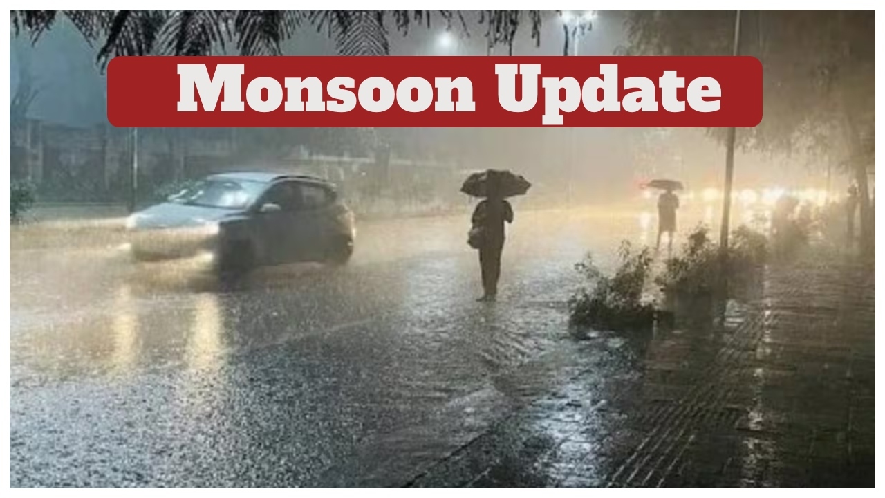
Monsoon update – A fresh Western Disturbance has once again influenced the weather patterns across North India, bringing cloudy skies, rainfall, and snowfall in several regions. While the impact of Cyclone Midhili/Montha has largely diminished, two new weather systems are now active, affecting both northern and southern parts of the country. As winter begins to set in, the intensity of cold in the northern Himalayan regions has noticeably increased.
Rain and Snow in Himalayan States
According to the India Meteorological Department (IMD), Jammu & Kashmir, Himachal Pradesh, and Uttarakhand are experiencing a change in weather, with ongoing snowfall in higher altitudes. This has led to a dip in temperatures, making conditions significantly colder in popular hill destinations. Light to moderate rain is also expected in the mid and lower Himalayan belts over the next 48 hours.
Heavy Rainfall Expected in These States
The IMD has issued alerts for November 5 and 6, warning of possible moderate to heavy showers in several regions.
States likely to experience rainfall, cloudy skies, or storms include:
North India: Delhi-NCR, Punjab, Haryana, and Rajasthan may see overcast skies.
Himalayan Region: Himachal Pradesh, Uttarakhand, and Jammu & Kashmir will continue to witness rain and snowfall.
East & Northeast: Bihar, Uttar Pradesh, Sikkim, Arunachal Pradesh, Tripura, Nagaland, Mizoram, and Manipur may receive isolated rainfall.
South India: Parts of Andhra Pradesh, Telangana, Karnataka, Tamil Nadu, and Puducherry are expected to experience rain and gusty winds.
The next 48 hours are especially critical for regions under warnings, as heavy rain could disrupt travel and daily activities.
Delhi-NCR Weather Update
Delhi and surrounding regions are likely to see partly cloudy skies due to the western disturbance.
Minimum Temperature: Around 17°C – 18°C
Maximum Temperature: Approximately 30°C
However, air quality continues to remain a serious concern. Pollution levels have surged beyond 410 AQI, placing Delhi-NCR in the hazardous category. Residents are advised to wear masks and avoid outdoor activity during peak pollution hours.
Uttar Pradesh Weather Outlook
Cloudy conditions are expected across many districts of Uttar Pradesh until November 6. The IMD has also indicated the possibility of thunderstorms by late November 5.
Night and early morning fog may affect visibility in both central and western UP regions.
Himachal Pradesh Weather Conditions
Another Western Disturbance is intensifying over the Western Himalayas.
Himachal Pradesh is likely to experience rain and snowfall in districts such as:
Kullu, Mandi, Shimla, Una, Hamirpur, Solan, Kangra, and Chamba.
Travelers heading to hill stations are advised to check local advisories due to slippery roads and possible landslides.
People Also Ask: FAQ
1. What is a Western Disturbance?
A Western Disturbance is a weather system originating in the Mediterranean region. When it moves eastwards, it brings moisture to North India, causing rainfall and snowfall, especially in the Himalayan states.
2. Why is there pollution in Delhi during winter?
During autumn and early winter, wind speed drops, trapping pollutants close to the ground. Additionally, stubble-burning in neighboring states increases particulate matter in the air, worsening Delhi’s air quality.
3. Will the rain improve the air quality in Delhi?
Light rainfall may temporarily settle dust and pollutants. However, a sustained improvement requires stronger winds or continuous rainfall over several days.
4. Which states will receive the heaviest rainfall in the next 48 hours?
According to the IMD, states in the Western Himalayas and parts of South India are likely to receive the most significant rainfall during this period.